All products
Data Visualization
 .Maps
A full service geospatial platform that allows you to dive into physical aspects of your risk and overlay powerful visual data sources to give you a true picture of location and building risk.
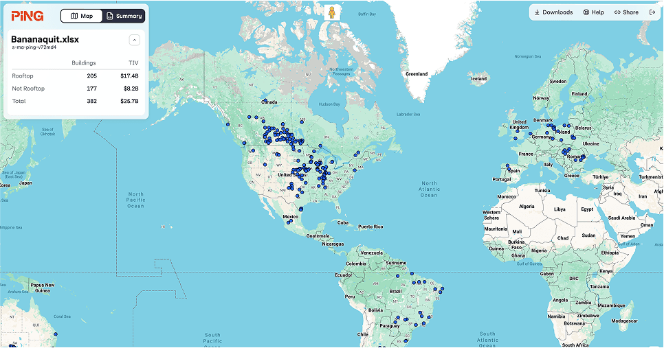
See the complete picture like never before.
What we do
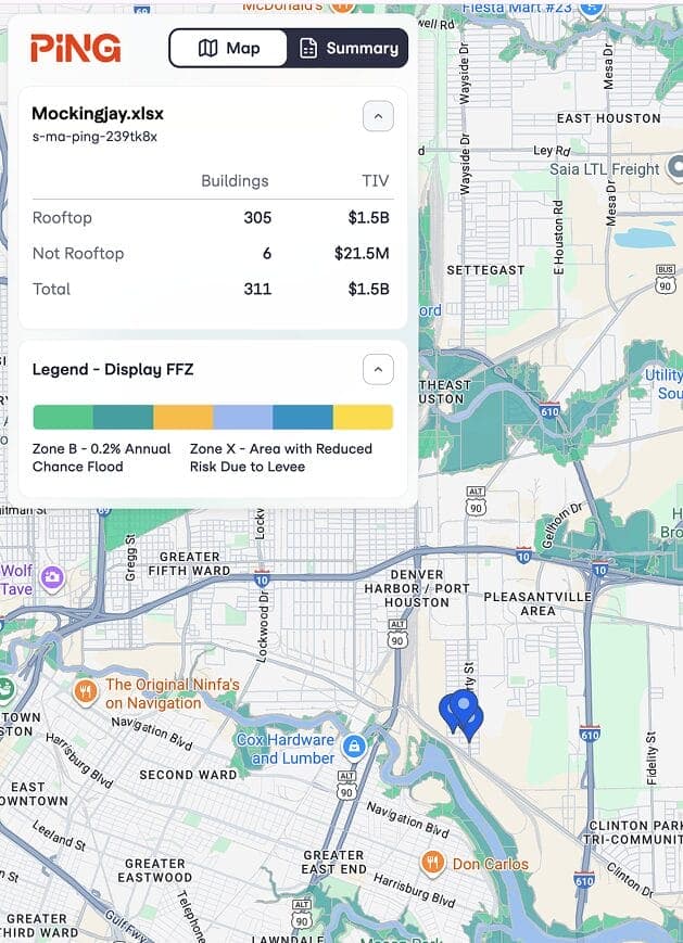
Visualize using powerful tools to determine multiple geographic risks to your property portfolio. See the distance of the location from the shoreline, identify the flood zones, sort locations by TIV, and assess the potential risks that specific locations may face.
This layer shows geographic areas with flood zone overlays, highlighting which locations are at higher risk of flooding.