All products
Single-Building Data Visualization

PING.Location

A single-building search that delivers precise data about a property’s location, exposure, and attributes. From peril risk to COPE characteristics, Ping.Location gives you the context you need to assess location-level risk quickly and confidently.

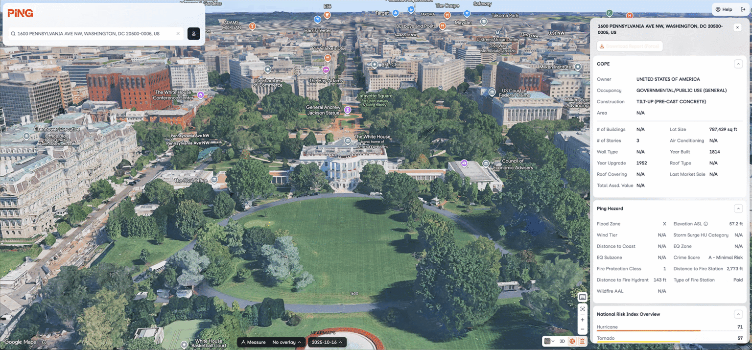
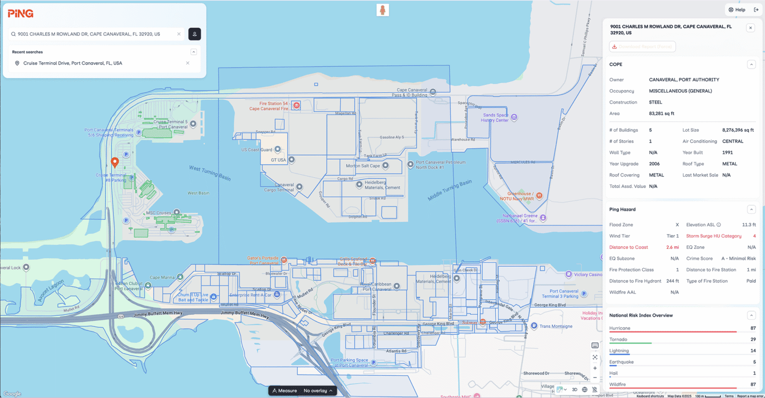
Ping.Location map and single-building risk data
Geospatial Platform

Know any location, inside and out.
Why Choose
Ping.Location?

Ping.Location is a one-stop solution for location lookup, data enrichment, and risk analysis.

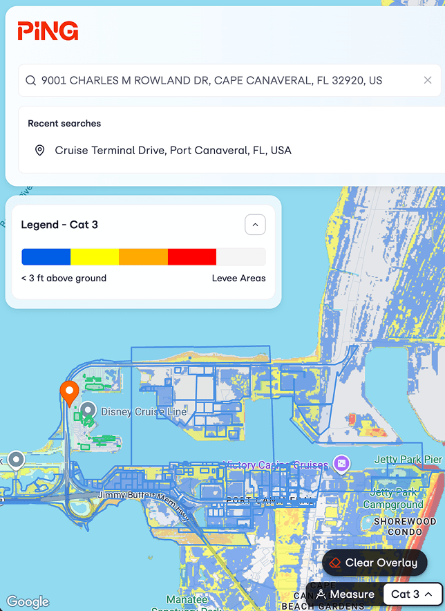
Whether you’re working in real estate, insurance, risk management, or urban planning, Ping.Location offers an all-in-one platform to assess and visualize the potential risks and opportunities at any given location. With access to data from multiple sources, you can make more informed decisions, optimize operations, and mitigate risks more effectively.

Aerial map and risk information for a selected location
Get in touch

Transform your data today

Stay informed with the latest developments, news, and events.

Book a Demo